Ride, Camp, Capture: Turning Local Overnighters into Cinematic Photo Stories
Join a practical, inspiring deep dive into photographing local bike overnighters, concentrating on route scouting and shot planning that turn short escapes into rich visual narratives. From reading maps and timing light to choosing gear and building a shot list, you’ll learn field-tested approaches that respect safety, community, and landscape while elevating every ride.
Scouting the Route with Intention
Digital Recon: Maps, Layers, and Satellite Clues
Start with layered digital tools that reveal elevation profiles, surface types, land boundaries, traffic intensity, and popular paths. Cross-reference satellite textures for tree cover, river bends, gravel beds, and pullouts. Mark possible sunrise-facing ridges, legal viewpoints, and bailout options so your storyboard matches real, rideable terrain.
Ground Truth: Pre-Rides and Walk-Ins
Sometimes screens mislead, so a short pre-ride or hike-in confirms sightlines, noise levels, and safety. Note wind exposure on ridgelines, gate closures, dogs, and parking pullouts. Test compositions with a phone, evaluating foreground texture, leading lines, and rider speed through frames to refine timing and lens choices.
Access, Etiquette, and Permissions
Respect for place makes images stronger and trips welcome. Check seasonal closures, fire restrictions, private property boundaries, and indigenous lands guidelines. Choose low-impact camps, keep noise down, and ask before photographing residents. Clear communication earns trust, unlocks stories, and safeguards future riders’ access to fragile, beautiful corridors.
Timing the Light for Motion and Rest
Light turns effort into poetry. Plan segments so golden hours align with scenic overlooks, gentle grades, or safe pullouts where you can frame without rushing. Use blue hour for quiet transitions, keep mid-day for scouting or texture studies, and let moonlight or headlamps narrate camp rituals and night movement.
Chasing the First Light
Start before dawn so you crest the ridge as color blooms. Cold air steadies haze, while low sun rakes across gravel, carving shape into tire tracks and sage. Meter for highlights, protect skin tones, and wait for the first exhale that says, we made it.
Moon, Stars, and Predictable Night
Check lunar phase and rise time to choreograph silhouettes, tent glow, and reflective water. A slim crescent preserves stars for trailhead panoramas; a bright moon lights forest singletrack. Stabilize on a rock, communicate poses, and keep exposure manageable for riders who still need warmth and sleep.
Taming Harsh Midday
Not every frame must be dramatic; use overhead light deliberately. Seek dappled canopies, canyon walls, or fog banks that soften contrast. Convert to black and white to celebrate geometry. Save hero portraits for later and harvest textures, tools, hand gestures, and tire tattoos baked into dusty switchbacks.
Building a Shot Plan that Breathes
Structures keep you focused without strangling spontaneity. Draft a loose storyboard with anchors—arrival, climb, overlook, camp, dawn—and thread connective tissue between them. Consider transitions, audio cues, and cutaways. Carry prompts, not scripts, so when weather or locals shift the day, your plan flexes and remains alive.
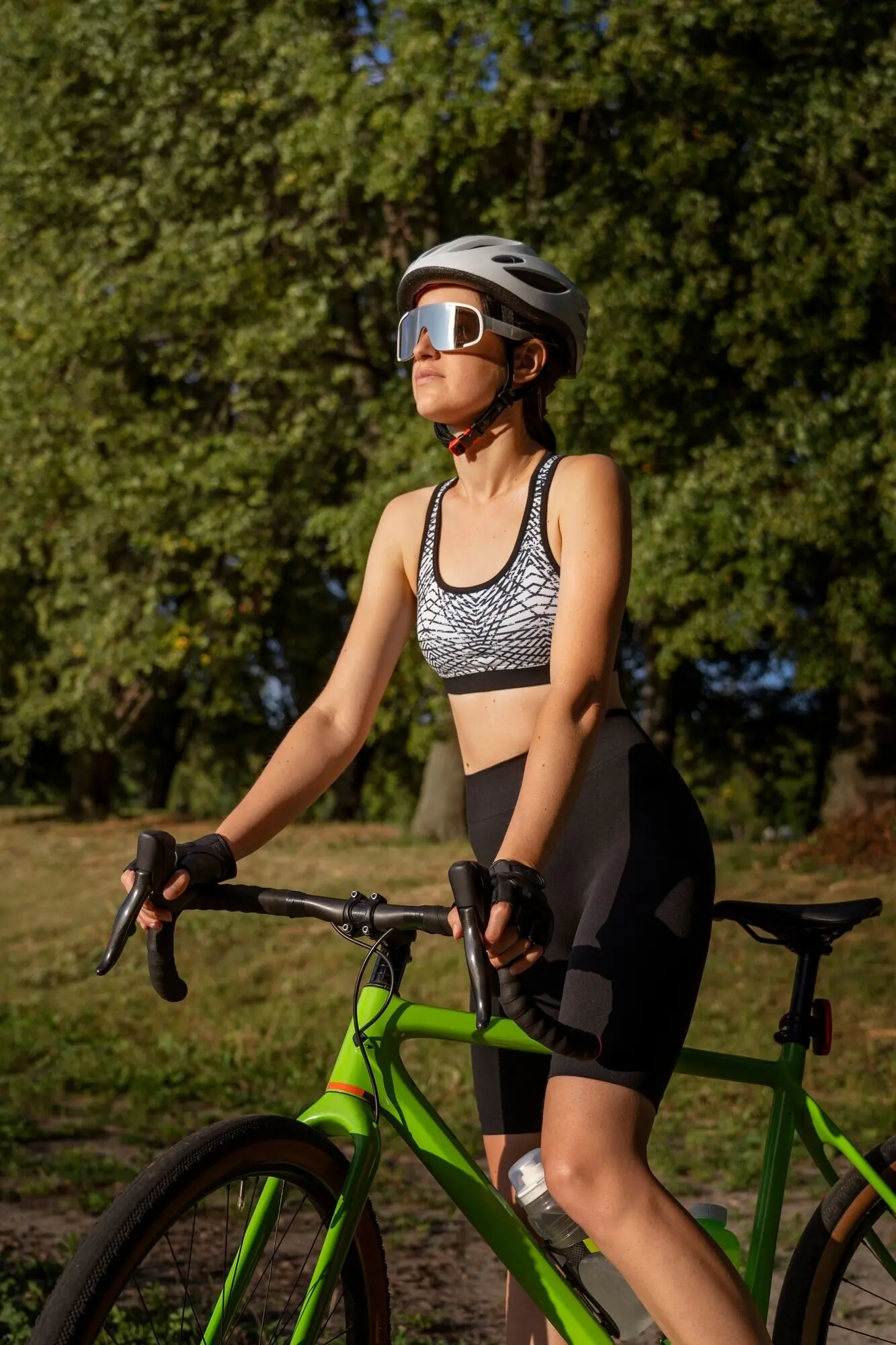
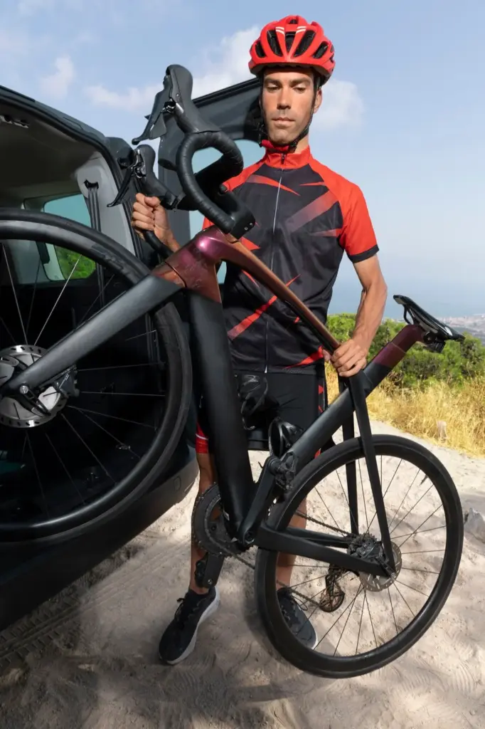
Camera and Lens Choices
Mirrorless bodies with stabilized primes or modest zooms excel on rough surfaces, but rugged compacts and phones are valid when storms or weight dominate. Prioritize fast access over ultimate resolution. A lens you can deploy quickly beats a masterpiece still buried under snacks.
Mounts, Straps, and Stability
Keep the camera secure yet ready: chest harnesses, quick-draw holsters, stem bags, and top-tube pouches tame bounce without occupying hands. Add a tiny clamp or mini-tripod for self-portraits and time lapses. Practice stowing and drawing until the motion feels safe, repeatable, and calm.
Fieldcraft on the Move
Shooting from a bike demands discipline and empathy. Signal intentions, choose pullouts with sightlines, and brief your partner before each sequence. Favor predictable maneuvers, communicate clearly, and keep traffic, wildlife, and weather foremost. Great photographs mean little if riders, bystanders, or habitats feel endangered, surprised, or disrespected.
Plan shots where you can safely roll side by side, or stop entirely. Use downhill coasts for passing angles, keeping fingers on brakes. Announce starts and stops. If conditions feel chaotic, reset. No image is worth a spill, confrontation, or emergency call.
Field audio, quick voice notes, and GPS waypoints preserve context you’ll forget by Monday. Record wind in aspens, stove hiss, laughter under stars, and rain through tarps. These fragments inform edits, suggest captions, and recall the feelings that still photographs can only imply.
From Cards to Community
Your story reaches full life when edited, sequenced, and shared with care. Build a tight selection that honors participants and places. Credit collaborators, share back with land stewards or businesses, and invite feedback. Thoughtful outreach strengthens relationships, improves craft, and seeds future rides with open doors.

All Rights Reserved.